The line
A map that asks before it assumes
2026-07-01 · 3 min
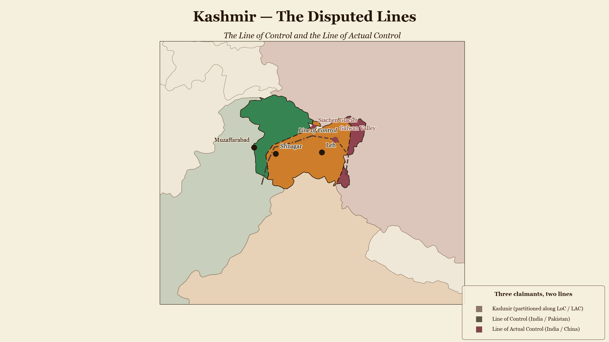
There is no neutral map of a contested world. The moment you draw a line, you have taken a position — on whose territory this is, on what year it is, on which of two names a body of water carries. Most tools resolve these questions the same way: silently, with a default the author never sees. That is the one behavior a professional cartographic tool cannot afford. So we built the opposite. Where a map has to make a contested choice, the tool stops and asks.
The choices are unavoidable, so make them visible
Ambiguity in geopolitical cartography is not an edge case; it is the material. It shows up in at least four registers, and a real map touches all of them:
- Territorial. Crimea, Donbass, Kashmir, Western Sahara, Northern Cyprus, Taiwan, Kosovo, Palestine, Nagorno-Karabakh. Every one of these is a decision, not a fact you can look up and forget.
- Terminological. Persian Gulf or Arabian Gulf. Sea of Japan or East Sea. Burma or Myanmar. The label is the claim.
- Conceptual. "Russian influence" — military, economic, cultural, religious, all of them layered? "NATO" — current members, plus candidates, as of which date?
- Temporal. "Current borders" — current as of when? A map with no year is a map making a hidden claim about time.
A tool that picks for you, quietly, hands you a map with buried assumptions. Publish it, and the first expert reader who disagrees with the default has caught you making a claim you did not know you were making.
Ask, then record the answer in the document
So disambiguation is a first-class step, not a setting hidden three menus deep. When your description touches a contested territory or an ambiguous term, the tool surfaces the choice and lets you state it: show Crimea as Ukrainian, as Russian-controlled, or as contested with a hatched overlay; render the borders as of a date you name; pick the toponym you will stand behind.
And crucially, your answer is written into the document. The map does not just happen to show a contested Crimea — it carries an explicit record that you chose to, and how. Anyone who later reads the source can see not only what the map claims but that the claim was deliberate. Contestation shown, not smuggled.
Why this is the professional bar
A map with hidden assumptions on Taiwan or Crimea is not merely imperfect — it is unusable in the settings that matter. A newsroom cannot run it, because it cannot defend a choice it did not know it made. A researcher cannot cite it, because the map will not say what it means. A defense-industry briefing cannot ship it, because a silent default on a disputed border is a political liability with someone's name attached.
Honesty about ambiguity is not a constraint we tolerate. It is the feature. The tool amplifies your analysis precisely by refusing to make your hardest calls for you — and by making sure that once you have made them, the map says so out loud.